MEASURED BUILDING SURVEYS
Measure existing buildings for the purpose of making drawings to assist in design proposals for alterations or additions.
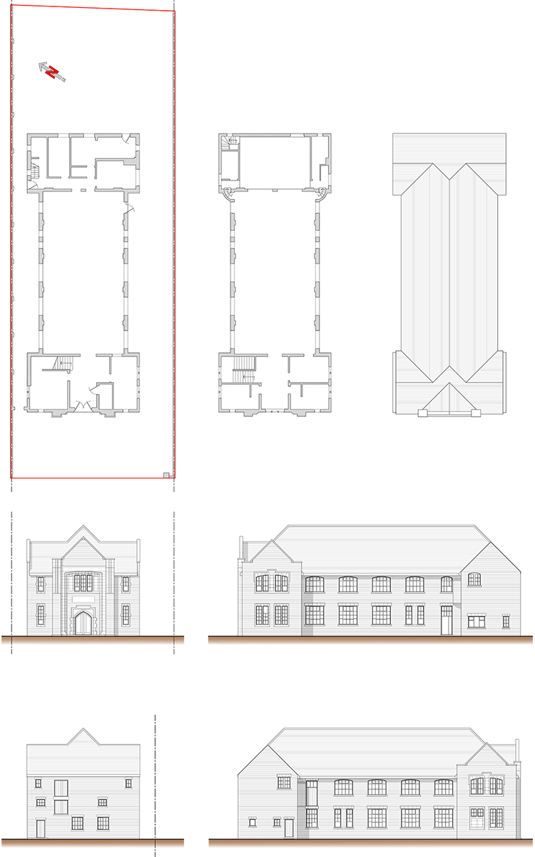
A measured building survey is an accurate representation of your building showing all the structural elements, architectural features and services. Floor plans and elevations are essential to give an accurate representation of any building, complemented by cross sections and presented as scaled survey drawings they are the basis for Renovation, Extension and Conservation design work.
A detailed building survey is essential for most projects. Detailed plans reduce the potential for mistakes, they highlight limitations and allow our designers to investigate the building’s potential, whilst exploring options.
Abbott Stevens Associates provide a full range of measured building survey services throughout the North West. Offering our clients accuracy, a quick turnaround and exceptional value for money. We provide all measured surveys in 2D or 3D AutoCad, we also provide PDFs, paper plots and an option to host and coordinate data.
For more information or if you would like to discuss your project or request an initial complimentary consultation, please contact us.

MEASURED LAND SURVEYS
Topographic surveys for both private domestic and commercial clients.
A topographic survey is an accurate representation of an area of interest, showing all natural and manmade features, including levels, boundaries and services.
A detailed land survey is essential for most projects. Detailed information reduces the potential for mistakes, topographical surveys highlight boundaries, feature and services; allow our design team to investigate the feasibility and potential of a site during the Site Appraisal and Concept Design stage.
Abbott Stevens Assocites provide a full range of land survey services throughout the North West. Offering our clients accurate information, a quick turnaround and exceptional value for money. We provide all measured surveys in 2D or 3D AutoCad, we also provide PDFs, paper plots and an option to host and coordinate data.
For more information or if you would like to discuss your project or request a quote for a topographical survey, please contact us.


